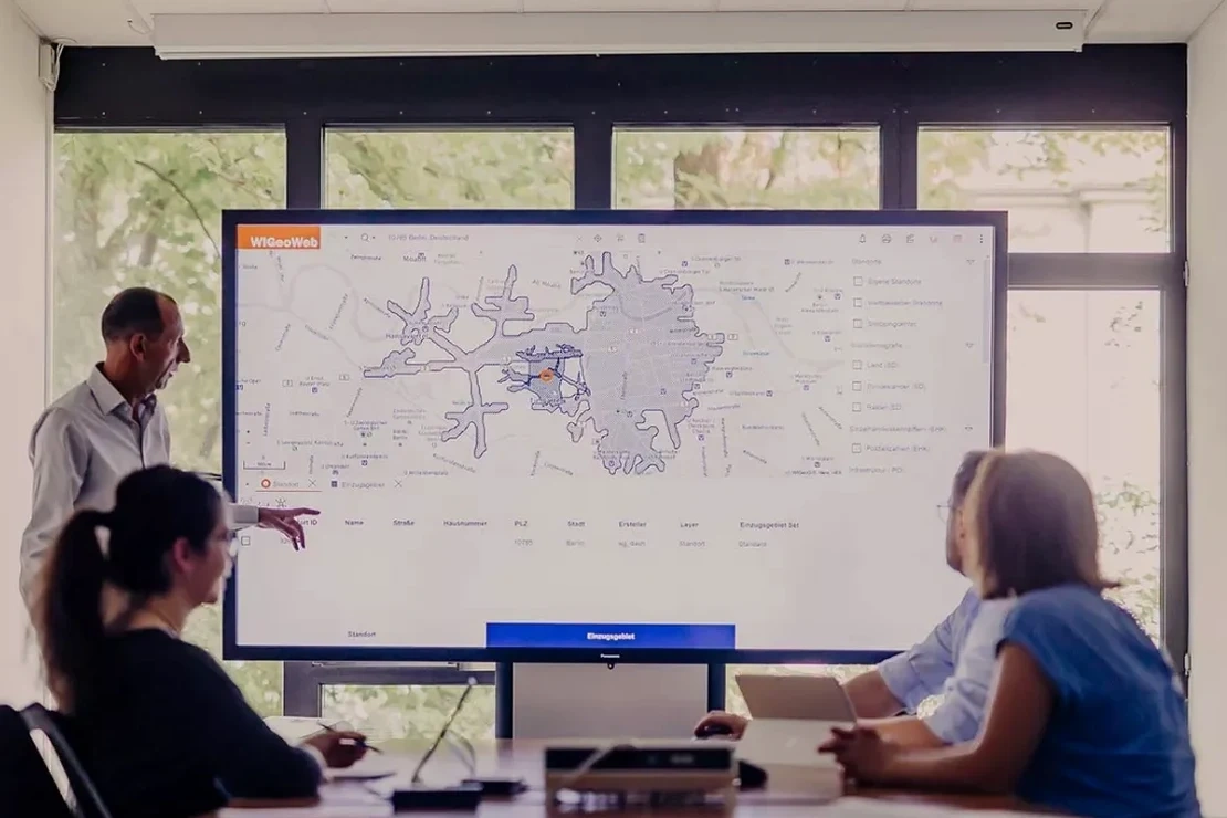
A six-story mixed-use project on Glacier Avenue stalled last spring. The structural design was sound, but the geotechnical report raised a red flag: the site straddled a buried glacial channel, and the site class jumped from C to E within 60 feet. The city building official requested a seismic microzonation study before approving the foundation permit. We see this scenario repeat across Juneau, where the terrain shifts from competent bedrock in the Douglas Island foothills to deep, soft sediments in the Mendenhall Valley. A standard site investigation gives you data at a point. Microzonation gives you the spatial picture: how ground motion varies across the parcel, where amplification concentrates, and which zones are susceptible to lateral spread. For any structure taller than three stories in this city, the MASW survey serves as the backbone velocity input, but the full microzonation pulls together stratigraphy, dynamic soil properties, and basin geometry into a single predictive map.
In Juneau's glacial valleys, peak ground acceleration can double across a distance shorter than the building footprint itself.
Site-specific factors
Downtown Juneau and the Mendenhall Valley behave like two completely different seismic environments, even though they are barely 10 miles apart. Downtown sits largely on shallow bedrock or thin glacial till; ground motions here are brief, high-frequency, and controlled by the source mechanism of the Fairweather-Queen Charlotte fault system. The Valley, by contrast, is underlain by over 300 feet of interlayered glaciomarine silts and sands in places, with groundwater at 3 to 6 feet below grade. We have measured fundamental site periods exceeding 0.8 seconds in the Valley, which aligns dangerously well with the natural period of 5- to 10-story buildings. A microzonation study that doesn't account for this basin-edge effect misses the worst hazard. The 2018 Anchorage earthquake reminded Alaska engineers that soft basins generate surface waves that travel laterally and amplify at the basin margin. We see that same geometry in Juneau where the Valley abuts the bedrock slopes near Brotherhood Bridge. Pairing the microzonation with a liquefaction assessment across the mapped zones gives the full picture for foundation design and insurance underwriting.
Quick answers
What is the typical cost range for a seismic microzonation study on a commercial lot in Juneau?
In Juneau, the cost for a complete seismic microzonation study on a standard commercial parcel (1 to 5 acres) typically ranges from US$4,320 to US$14,950, depending on the number of measurement points, depth of basin investigation, and whether we need to mobilize a drill rig for seismic CPT soundings or can work entirely with surface methods.
When does the City and Borough of Juneau require a microzonation study instead of a standard site class determination?
The CBJ building department typically triggers a microzonation requirement for Risk Category III and IV structures, for sites with known abrupt stratigraphic changes (common in the Mendenhall Valley and along the Gastineau Channel shoreline), or when the standard site class determination yields a borderline result between two classes that would change the design forces by more than 15%.
How do you account for the glacial rebound and complex soil layering unique to Juneau?
Juneau's post-Little Ice Age glacial rebound has left a sequence of raised marine terraces and deep glaciomarine deposits. We address this by running continuous seismic CPT profiles that capture thin interbedded silt and sand layers, and by calibrating the velocity model against borehole logs. The rebound effect influences the state of stress in the soil column, so we adjust the small-strain stiffness profiles accordingly before running the site response analysis.
Can the microzonation maps be used directly by the structural engineer for time-history analysis?
Yes. We provide the design team with site-specific acceleration time histories spectrally matched to the uniform hazard spectrum at the foundation level. The GIS layers show the spatial variation of these motions across the site. The output is fully compatible with ETABS, SAP2000, and PERFORM-3D input formats used by structural consultants in Juneau.