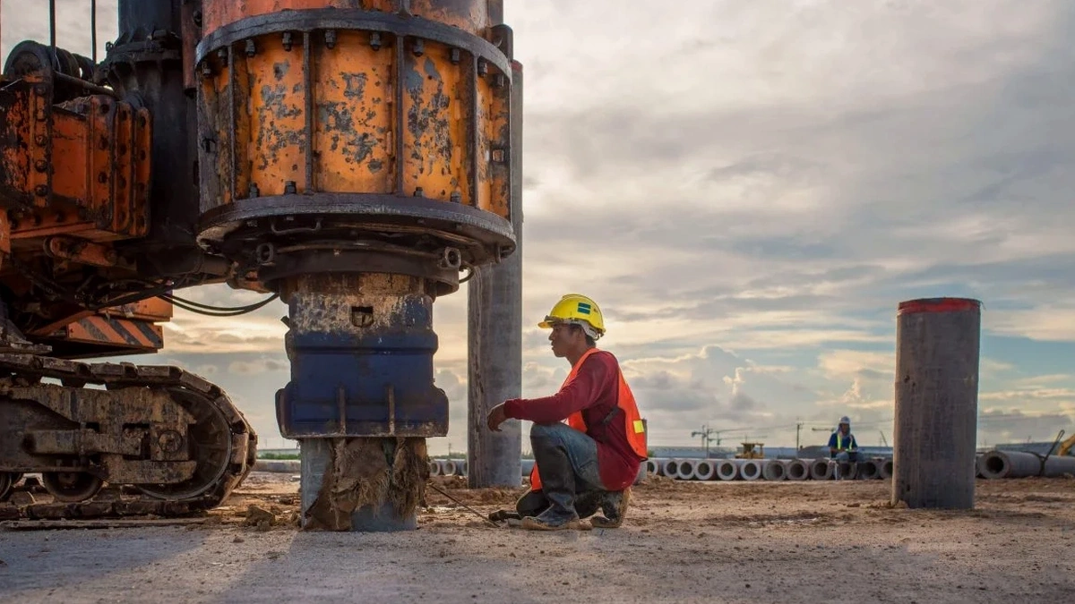
We deploy a 24-channel seismograph with 4.5 Hz geophones spaced across the terrain—a spread that picks up surface waves down to 100 feet below grade. In Juneau, the setup changes with every job: tight spacing on Gastineau Channel fill, wider arrays up against the Mendenhall Glacier outwash. The field crew has worked saturated organics along Egan Drive and steep colluvium in Douglas. Juneau's seismic demands are real—the Queen Charlotte-Fairweather fault sits just offshore. So we don't guess at shear wave velocity. We measure it directly with active-source MASW and passive microtremor arrays when site noise allows. A single line typically yields a 1D VS30 profile in under two hours, giving you the IBC site class before the excavator shows up. For deeper bedrock mapping, we link the seismic refraction line to the same spread and run both methods without moving the cable. Clients in Juneau keep coming back because we deliver a report that the structural engineer can use same day.
Our Juneau crew can run a full MASW line and deliver VS30 with IBC site class within one working day—before the foundation subcontractor mobilizes.
Quick answers
What does a MASW survey cost for a typical single-family lot in Juneau?
For a standard single-line MASW survey on a residential lot within the Juneau road system, the fee usually falls between US$1,560 and US$3,570. The exact figure depends on array length, site access, and whether we need to pair passive MAM recording to reach deeper bedrock. We provide a fixed-price quote after reviewing the parcel and any existing soil logs you have.
How long does it take to get the VS30 report after the field work?
We process the dispersion curves and run the inversion the same evening whenever field conditions allow. For a single-line survey without complex passive array processing, you receive the draft VS30 profile and IBC site class letter within 48 to 72 hours. Rush turnaround is available if the foundation contractor is already waiting on the classification.
Can MASW work on a sloping site like the ones above Thane Road?
Yes, and we do it regularly. On slopes steeper than 15 degrees we adjust the geophone coupling with longer spikes and orient the array along the contour to minimize topographic artifacts in the dispersion image. The inversion software includes a topographic correction module. For very steep cuts where slope stability governs, we usually recommend pairing the MASW line with a refraction survey to get both the velocity model and the bedrock profile in one mobilization.